1
Physically Measured
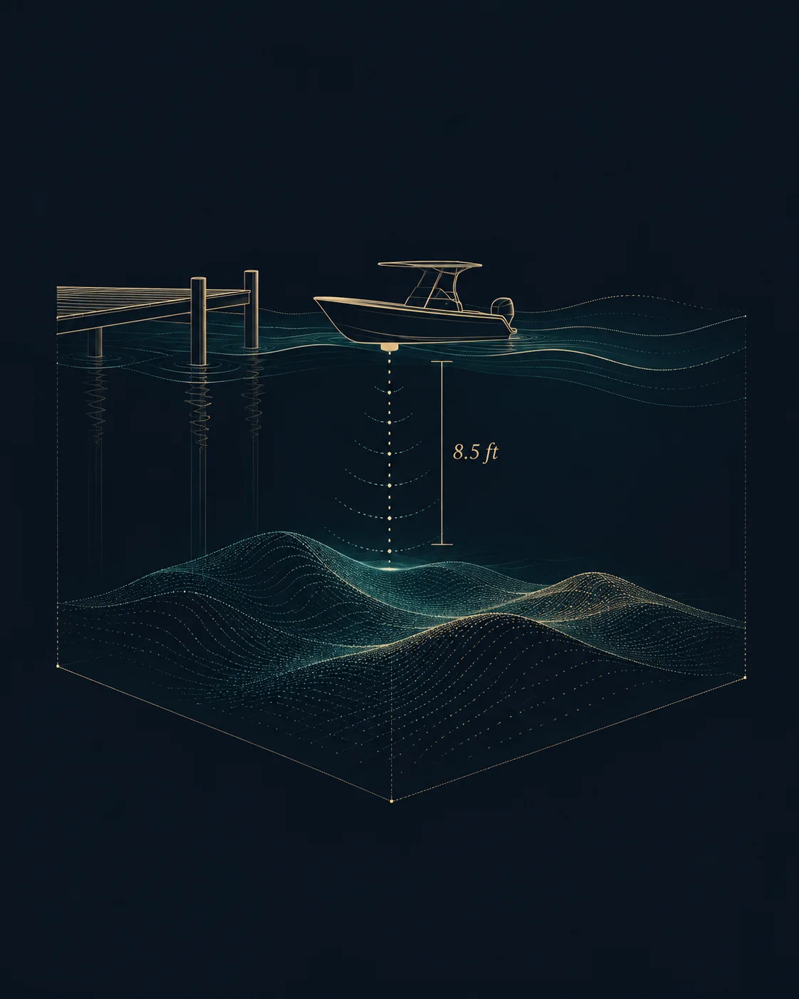
We take our own boat out and measure water depth at mean low tide, dock length, and vessel clearance — not an estimate.
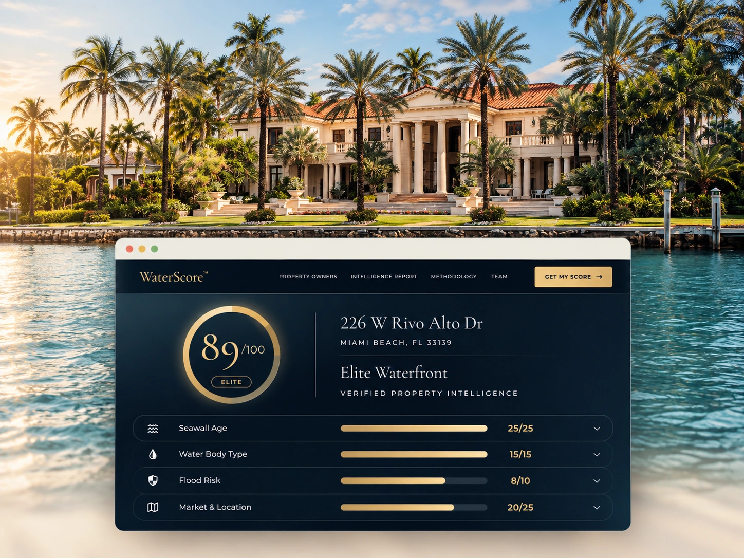
Verified depth, dock access, seawall condition, and flood risk — sourced from official records and our own boats on the water.
Every WaterScore report shows the full seven-factor breakdown and exactly where each number came from — official record, owner input, or a measurement taken by our own team on the boat.
We take our own boat out and measure water depth at mean low tide, dock length, and vessel clearance — not an estimate.

Cross-checked against elevation surveys, county permits, and parcel records — not just the year a listing claims.
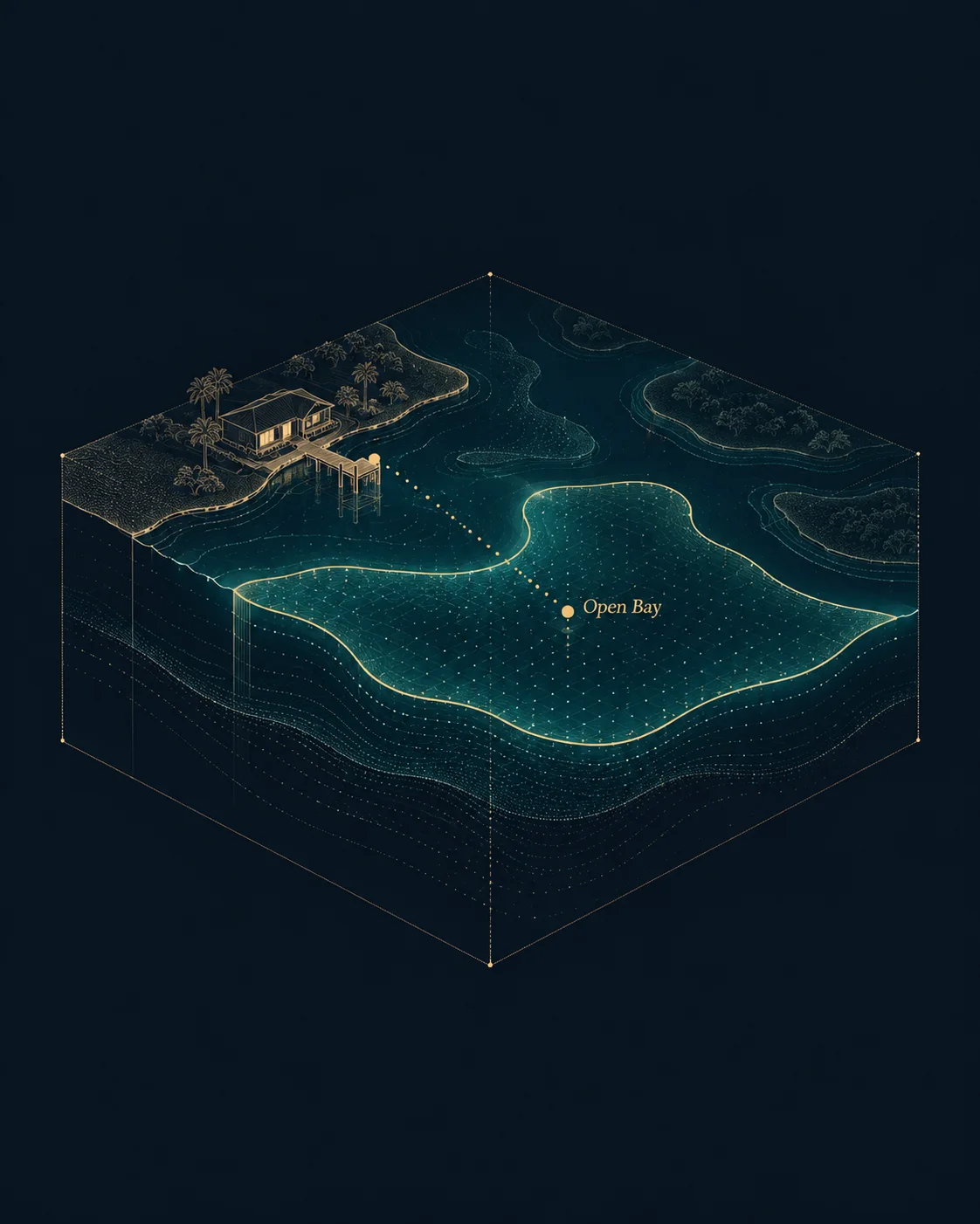
Open bay, ocean inlet, canal, or lagoon — classified from tidal boundaries and waterway data, not guessed from a photo.
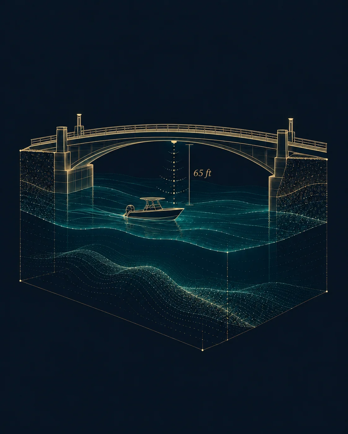
The largest vessel that can actually leave the dock and reach open water, calculated from real clearance data.
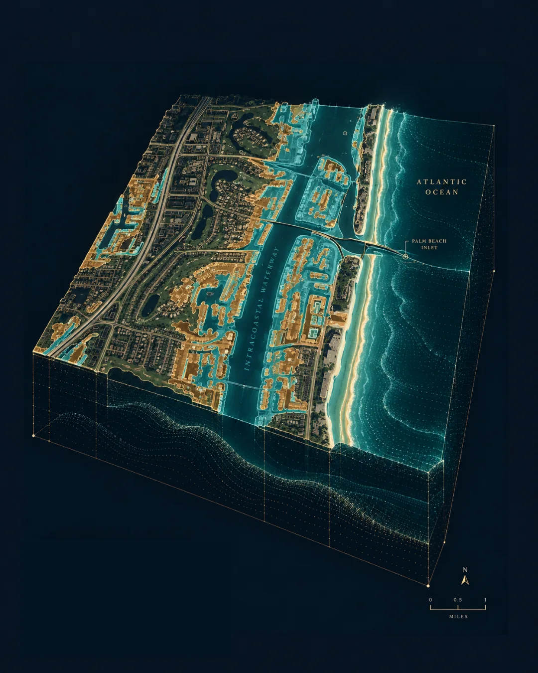
Every score cites the property's official FEMA flood zone designation — not an inferred risk band.
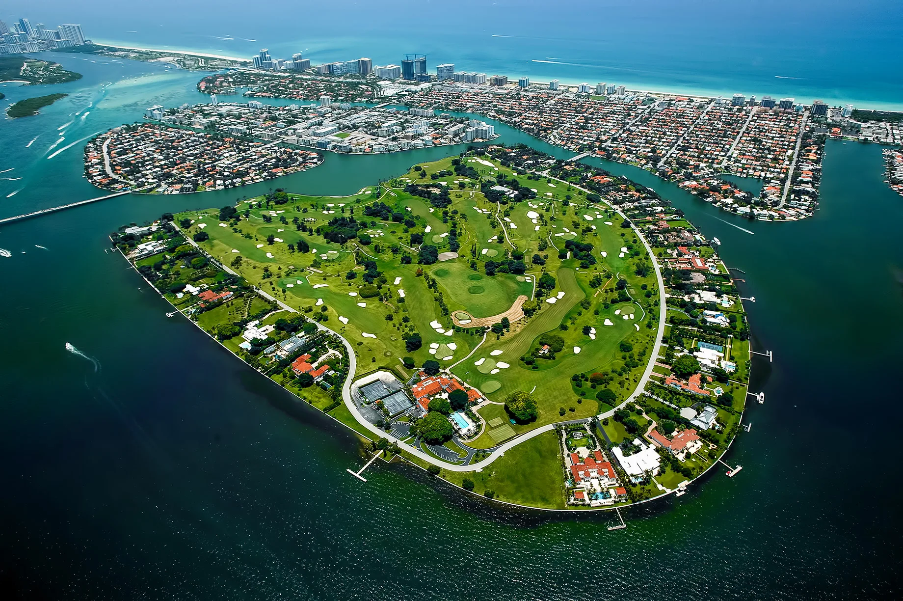
A private, monthly briefing on the South Florida waterfront market — written the way an analyst covers a market, not the way an agent writes a newsletter. Sales volume, pricing, days on market, and the waterfront properties moving before they're publicly listed.